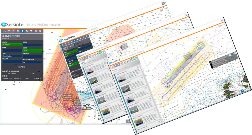
Web Portal & News Panel
- Access via the web portal allows you to track all seismic vessels directly from your desktop and view up-to-date vessel information.
- Easily search for any vessel worldwide and keep up to date with survey information including weather integration via Windy.
- Interactively playback single and multi-vessel operations.
- Access to the Seisintel News Panel allows you to quickly view, in real-time, the latest global seismic news. Located within the Seisintel Portal and available via Geo RSS; the news panel includes a clickable link to each survey of interest.
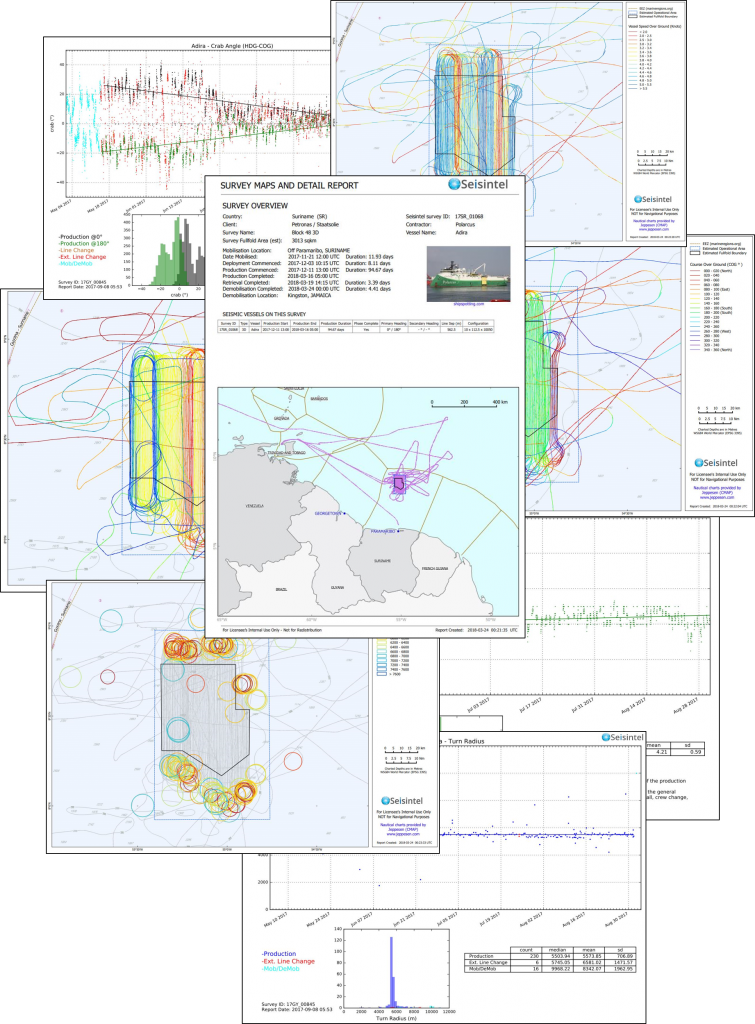
Daily & Historic PDF Reports
View and download historic and daily reports.
Features of the report include:
- Last 3 days of production map
- Traffic movements and density around the area
- Visual map representing the speed of the survey vessel(s)
- Progress from start to finish
- Turn radius encountered on each turn throughout the survey
- Quality reports for AIS data
- Overview map
- Speed graphs and statistics
- Graph of turn radii
- Course over ground graph
- Crab Angle graphs
- AIS quality overview graphs
- Tide height graphs
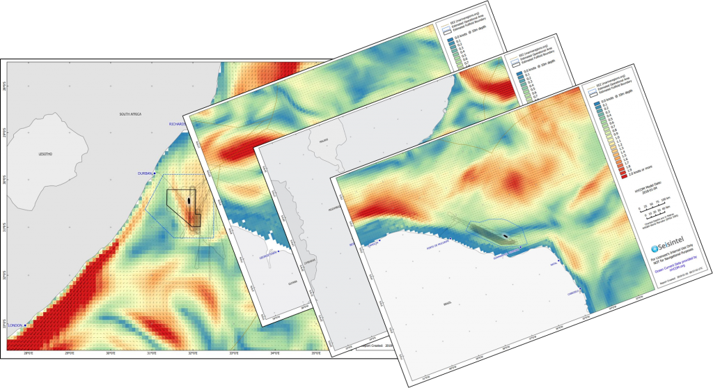
- Daily ocean current maps

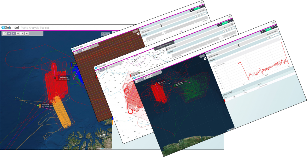
Survey Replay
- Survey path analysis and replay capabilities.
- Interactively analyse vessel tracks and performance.
- Replay single and multi-vessel surveys, analyse time sharing compliance and export seismic interference source locations.

Ocean Currents
- Daily HYCOM regional current modelling maps in our PDF survey reports.
- Forecast and historic Ocean Current replays.
- Regional current modelling complements our existing comprehensive tide and tidal current modelling package.

Planning Reports
- A range of background layers to choose from to aid operations planning.
- Admiralty charts, daily Arctic sea ice extent, shipping density and more.

GIS integration
- Seamless integration with GIS apps via WFS or ArcGIS Online.
- Reports, videos, live and historic seismic layers in your corporate webmaps via ArcGIS Portal.